
+

Oracle Surveys is one of Western Australia’s most reputable and trusted land surveying consultancies, servicing all areas of the Perth metropolitan area and beyond since 2000.
We are proud to be an industry leader in delivering expert land surveying and spatial capture solutions across all disciplines for our residential, commercial, construction and infrastructure clients.
We seek to not only meet but exceed our client’s expectations safely and efficiently and, in doing so, build and maintain long-term and meaningful relationships. In fact, many of our clients have been referred to us from other clients, or are repeat clients who are keen to work with us again.
Our company purpose is to be a leader in the provision of land surveying services by using our extensive knowledge, skills, technology and processes to understand the specific needs of our clients to guarantee superior project deliverables and profitability. Our values of integrity, trustworthiness, precision, safety and efficiency lie at the core of what we do and elevates us beyond our competitors.

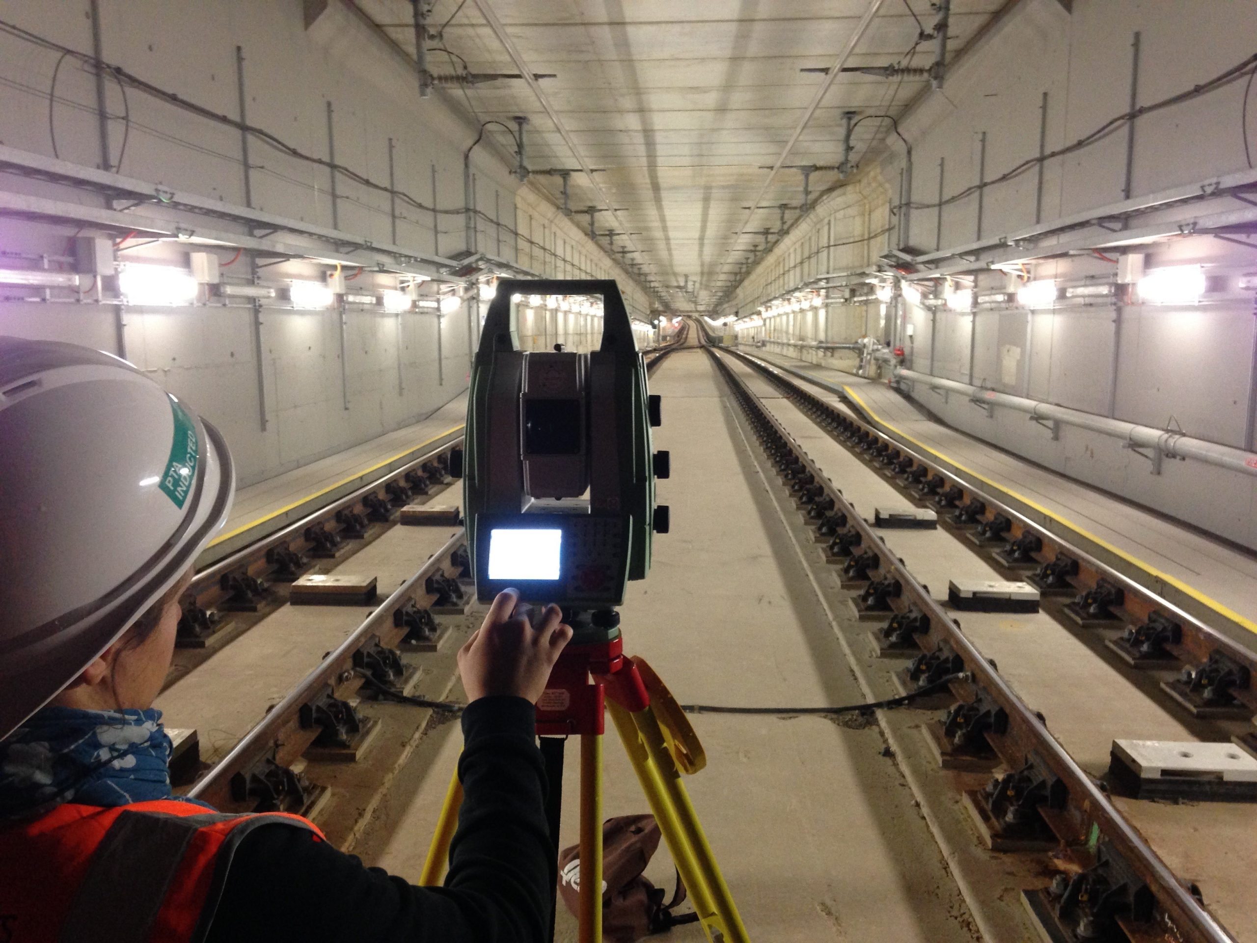
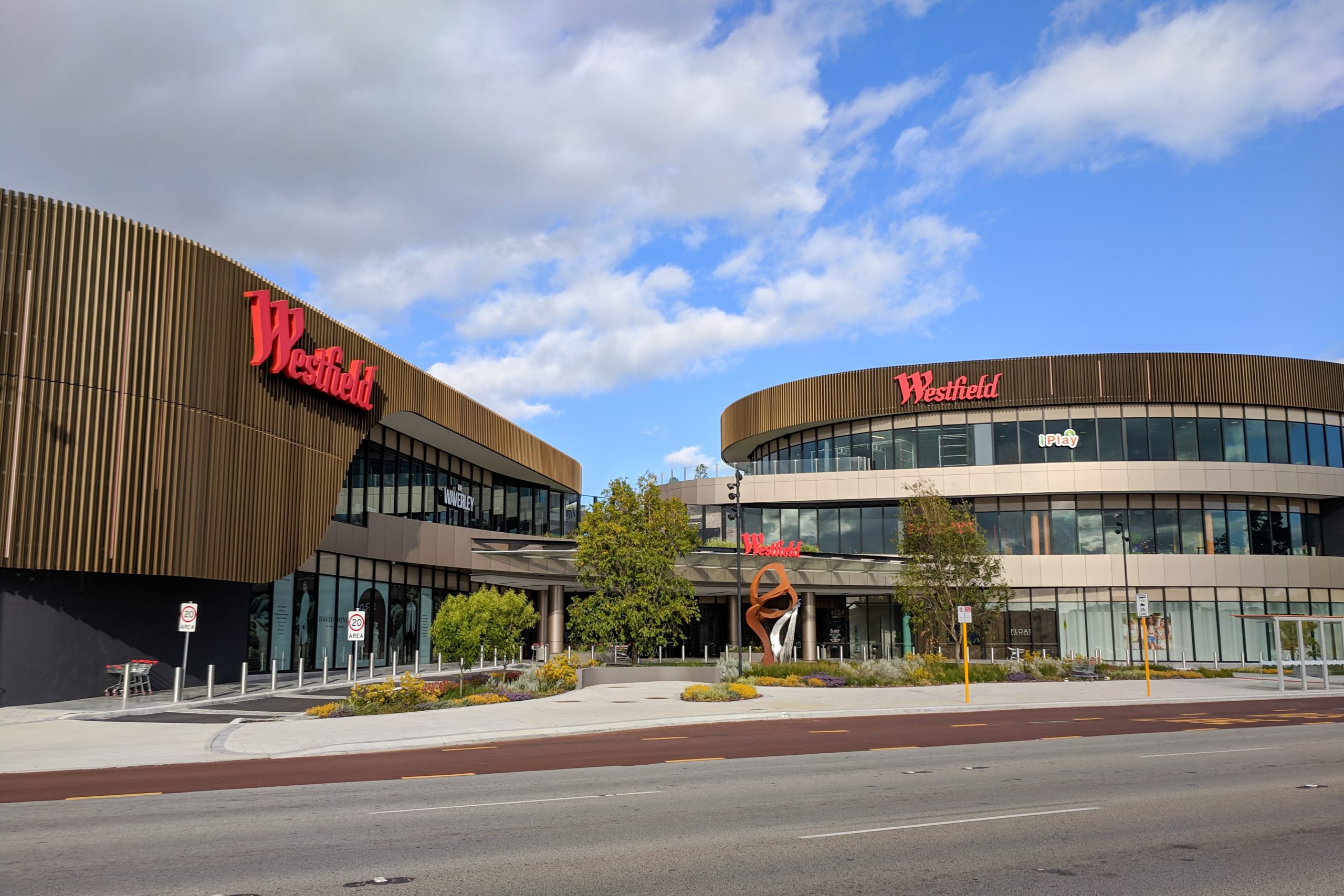
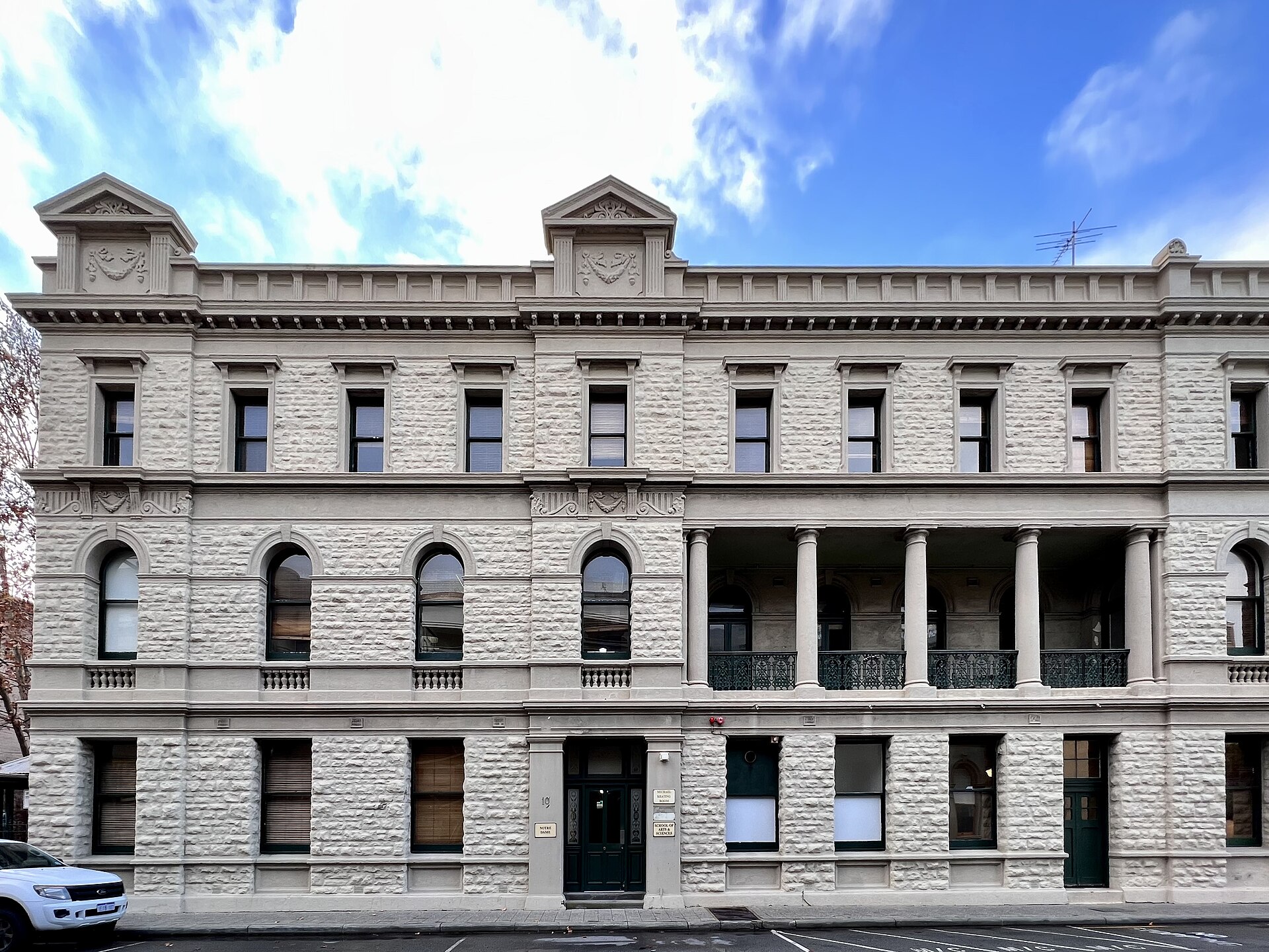
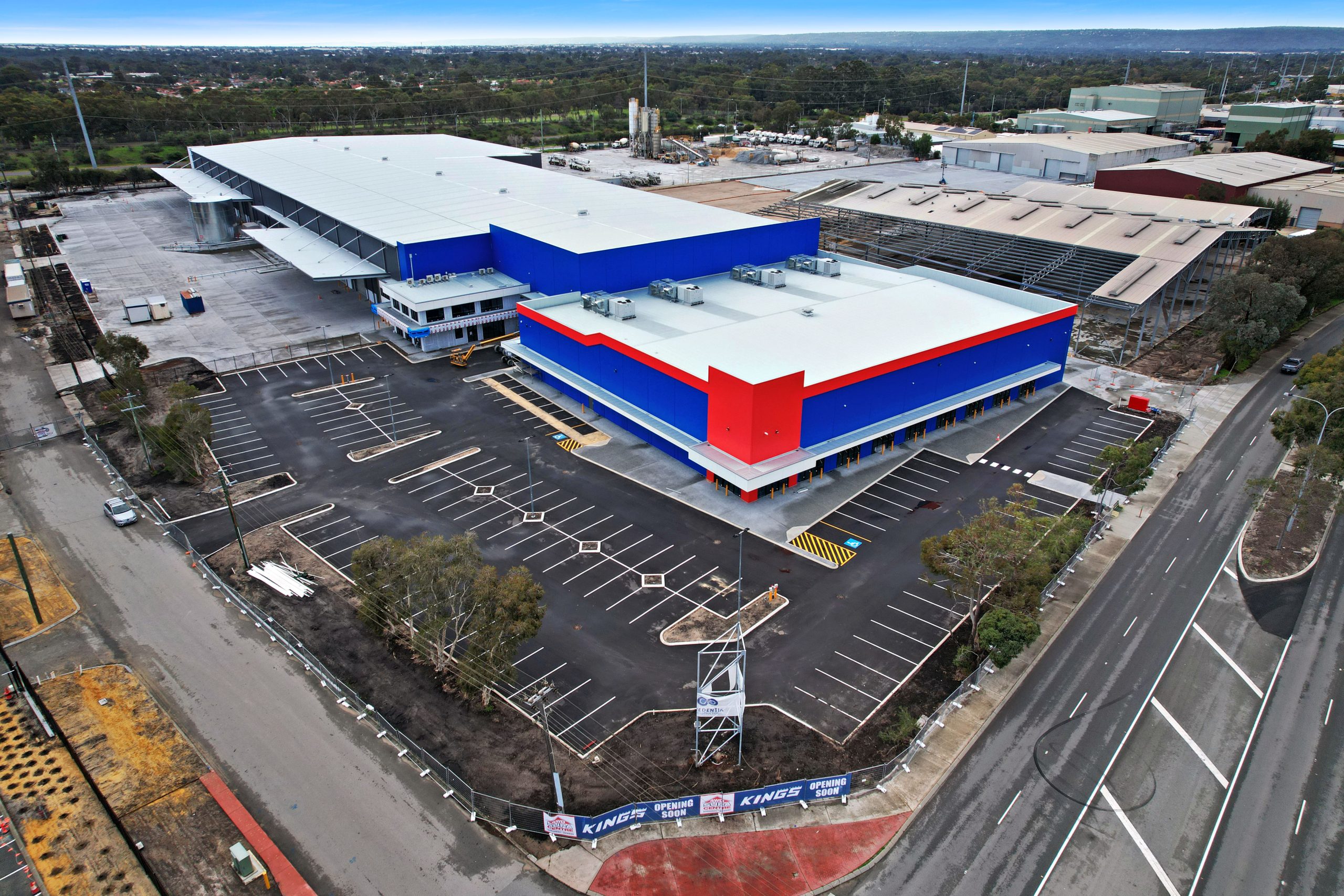
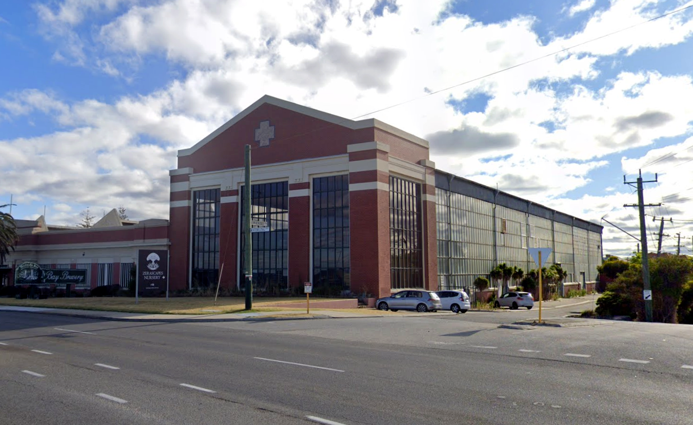
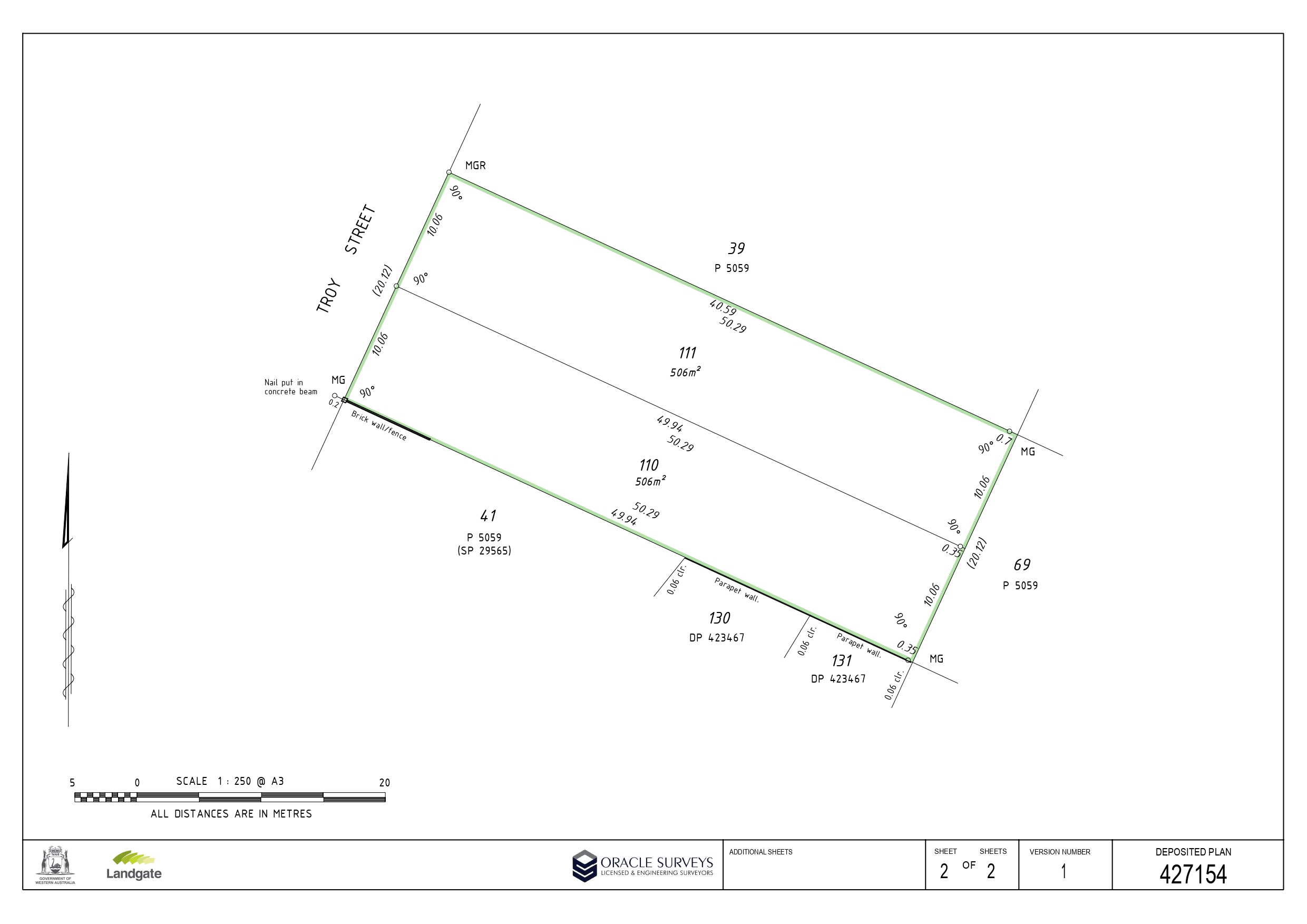
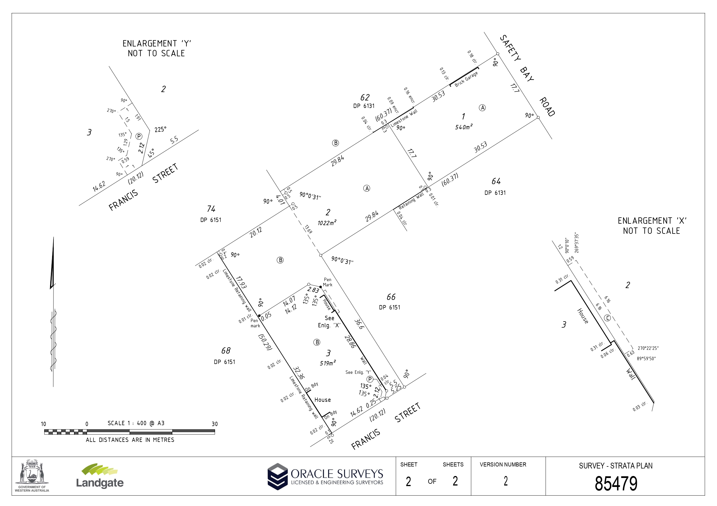
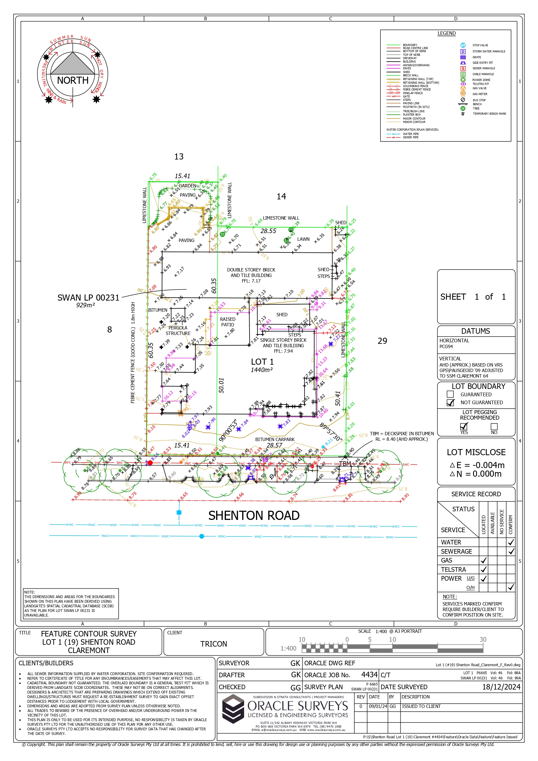
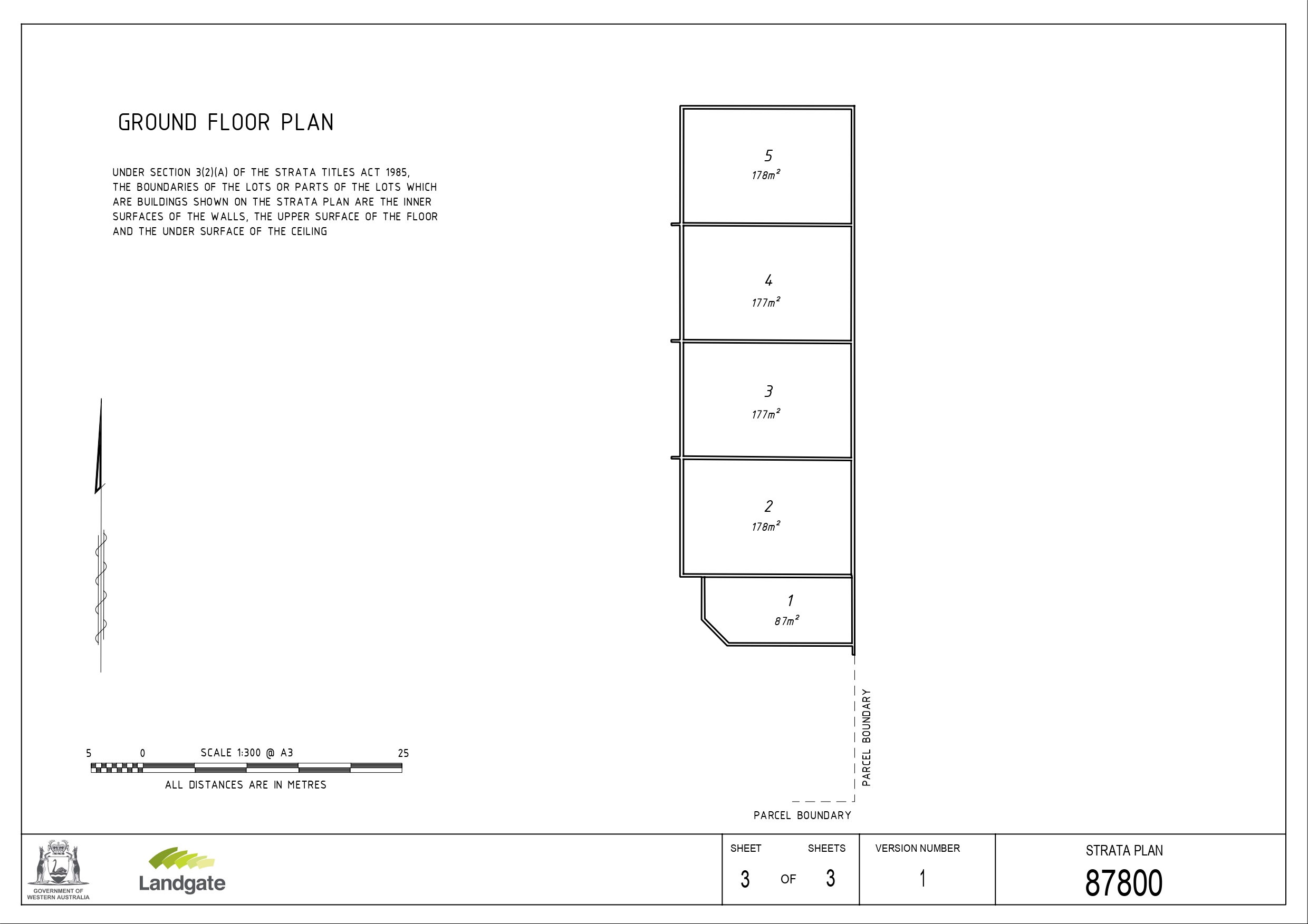
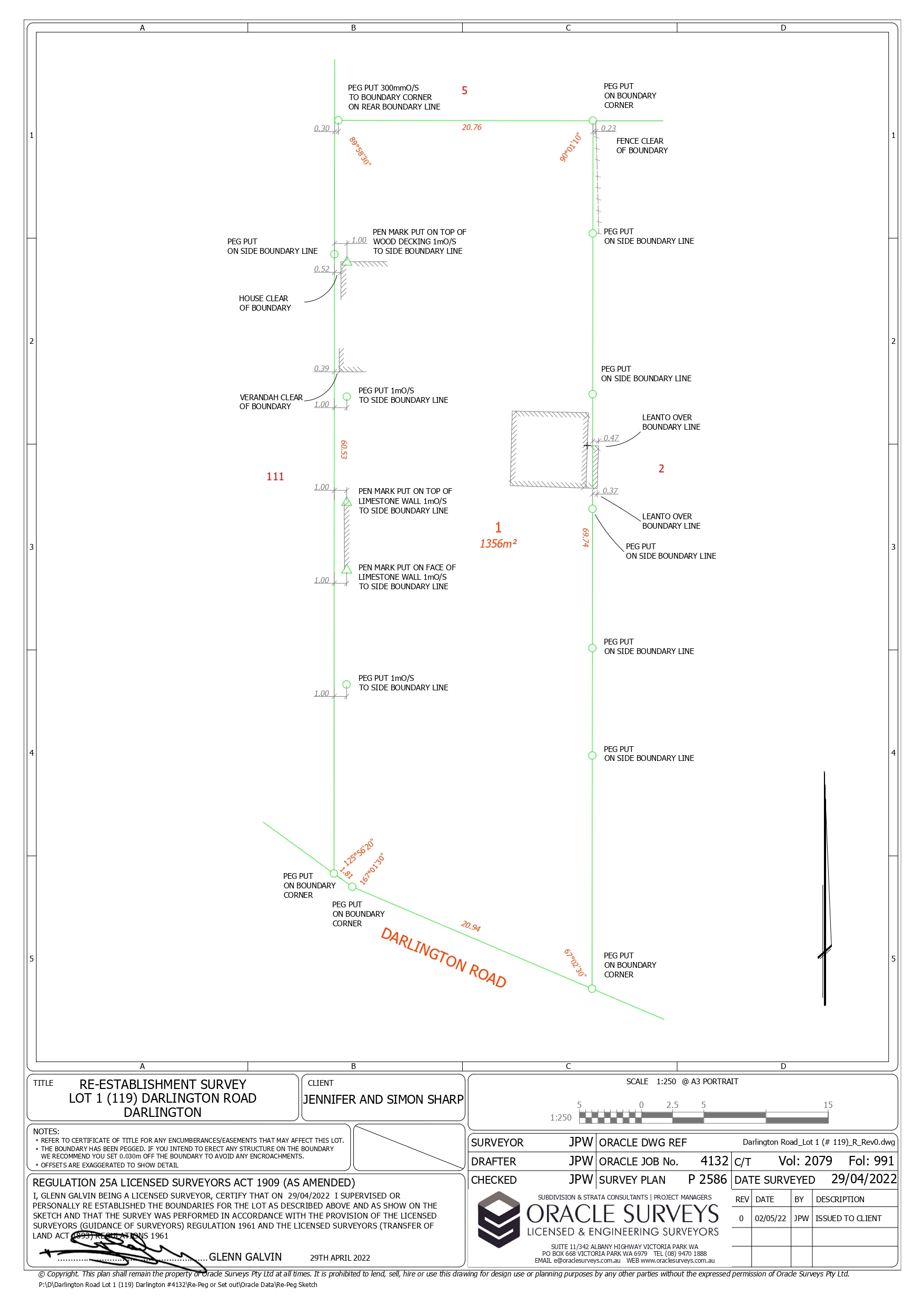
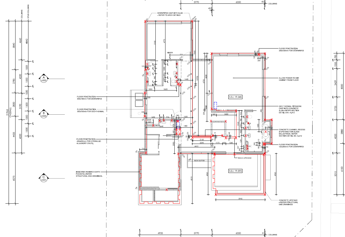
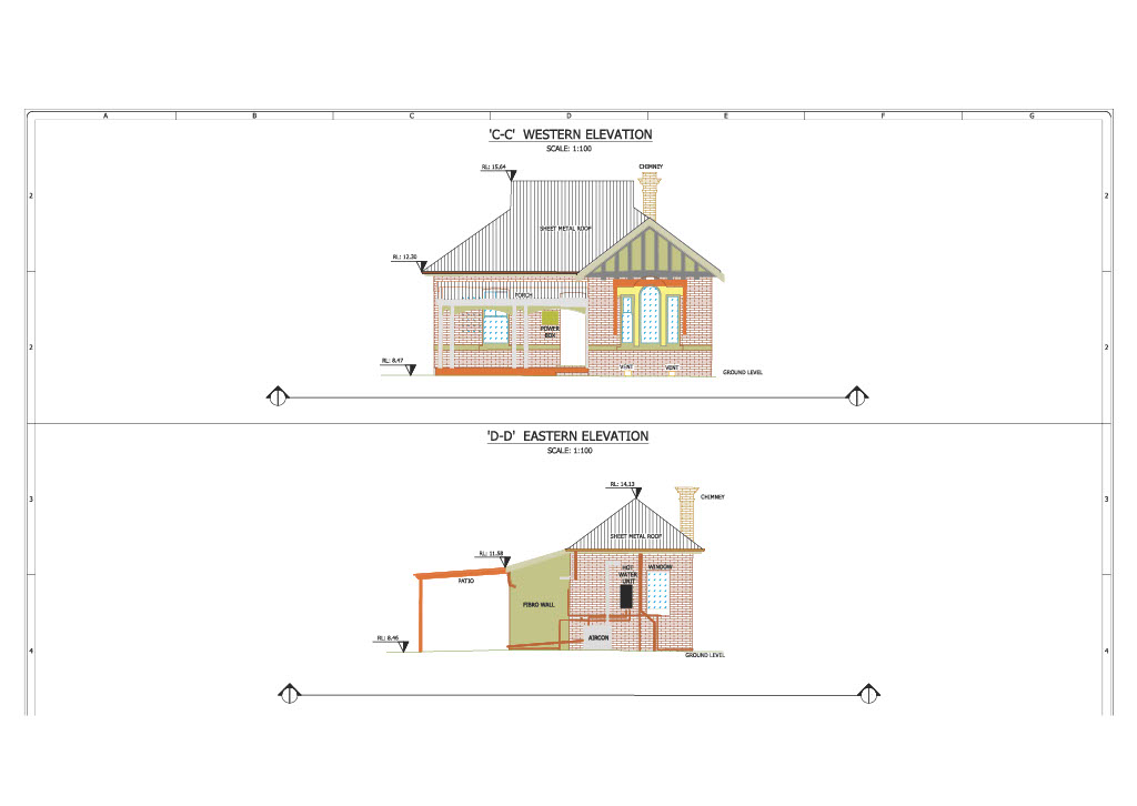
Explore our comprehensive project portfolio, showcasing the diverse expertise of Oracle Surveys. From landmark constructions to intricate land subdivisions, each project reflects our commitment to excellence in surveying services


Or alternatively, email us directly at hello@oraclesuveys.com.au
ALL ENQUIRIES/SUBMISSIONS WILL BE TREATED IN THE STRICTEST OF CONFIDENCE.