
Our experienced team can accurately carry out subsurface locating to identify potential or locate existing utility services or drainage infrastructure…
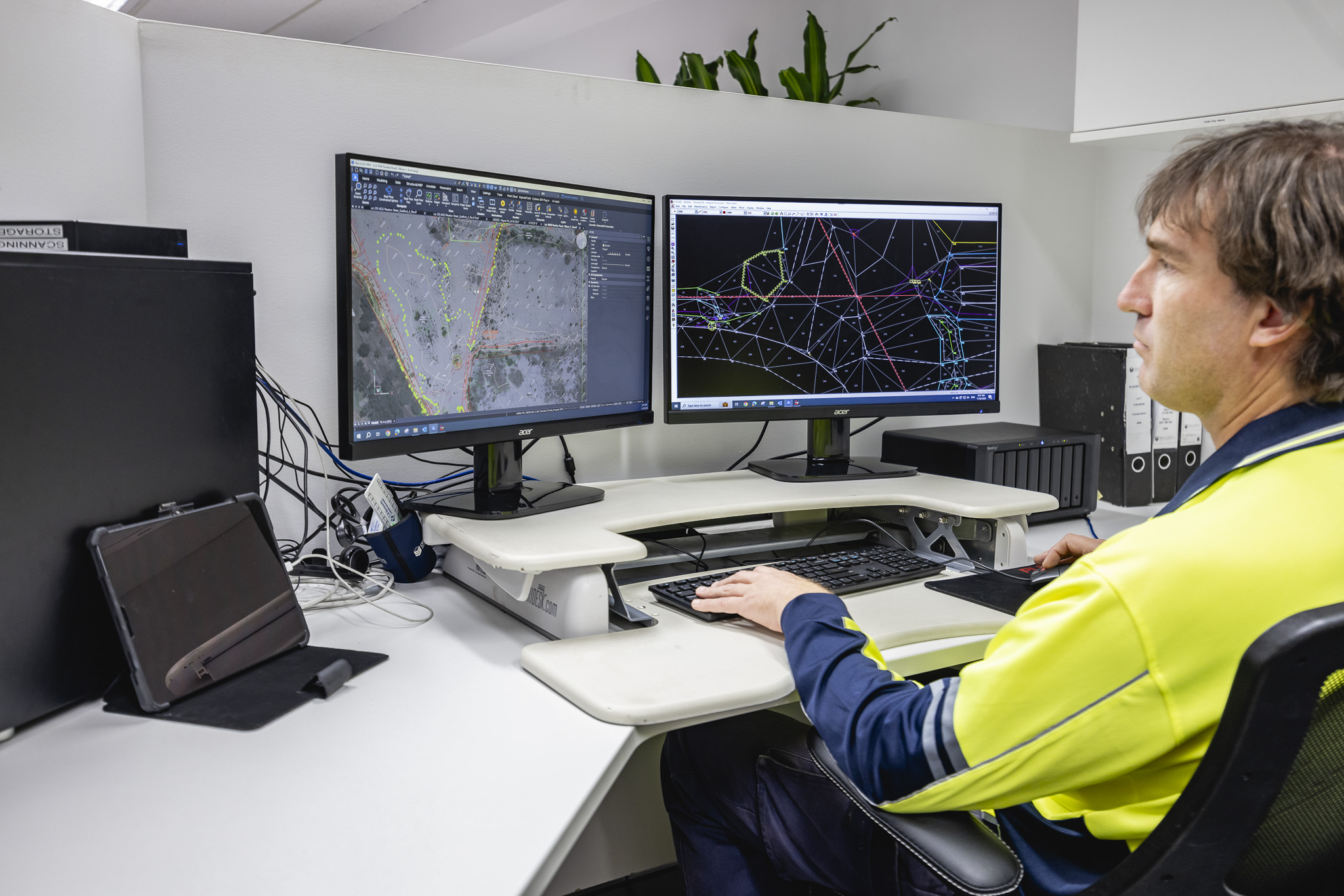
3D Laser Scanning and Modelling
Construction and Infrastructure
Beyond Measure,
Our 3D laser scanning and modelling brings a new level of sophistication to surveying and measurement for a range of construction, maintenance and asset management activities. Our state-of-the-art Leica 3D laser scanners scan at a rate of 1 million point measurements per second to create Point Cloud, Revit Models and digital 3D renders and visuals so comprehensive and accurate, while ensuring time and cost savings, and reducing Health and Safety risks.
WHAT WE OFFER
3D Scanning Technology Uses:
- Rapid data collection.
- Component alignment.
- Registered point cloud database.
- Rendered/modelled databases.
- Facilities and asset management.
- Heritage building scanning.
- Topographic data surveys.
- Road, utility and network data extraction.
- Revit modelling and other industry standard output files.
MORE SERVICES
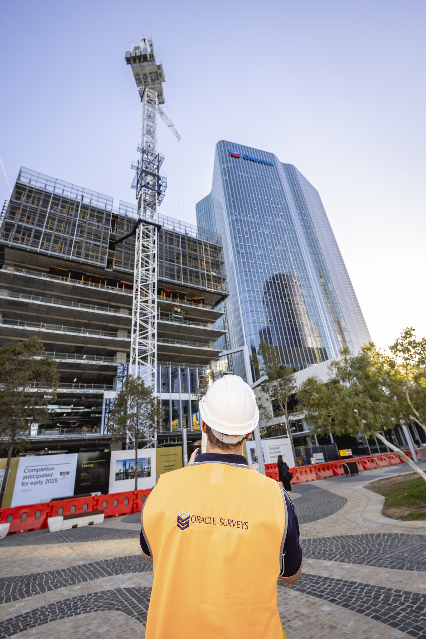
Construction and Infrastructure Services
Construction and Infrastructure Services
Our Tier 1 to Tier 3 infrastructure and construction clients rely heavily on our survey data and expertise to efficiently manage…
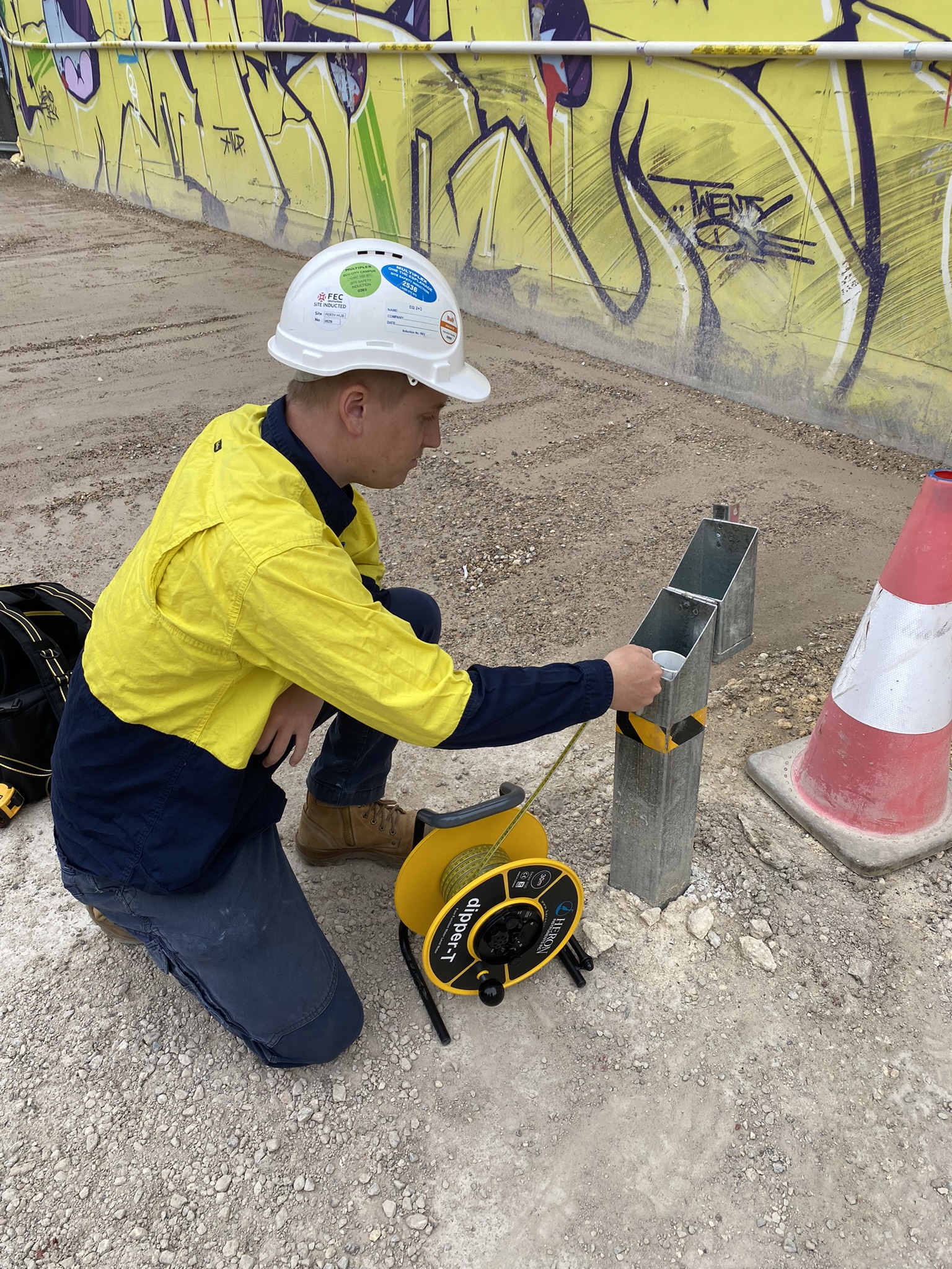
Deformation and Geotechnical Monitoring
Deformation and Geotechnical Monitoring
We have had experience in providing specialist deformation and geotechnical monitoring and inspections to assess current or potential stresses…
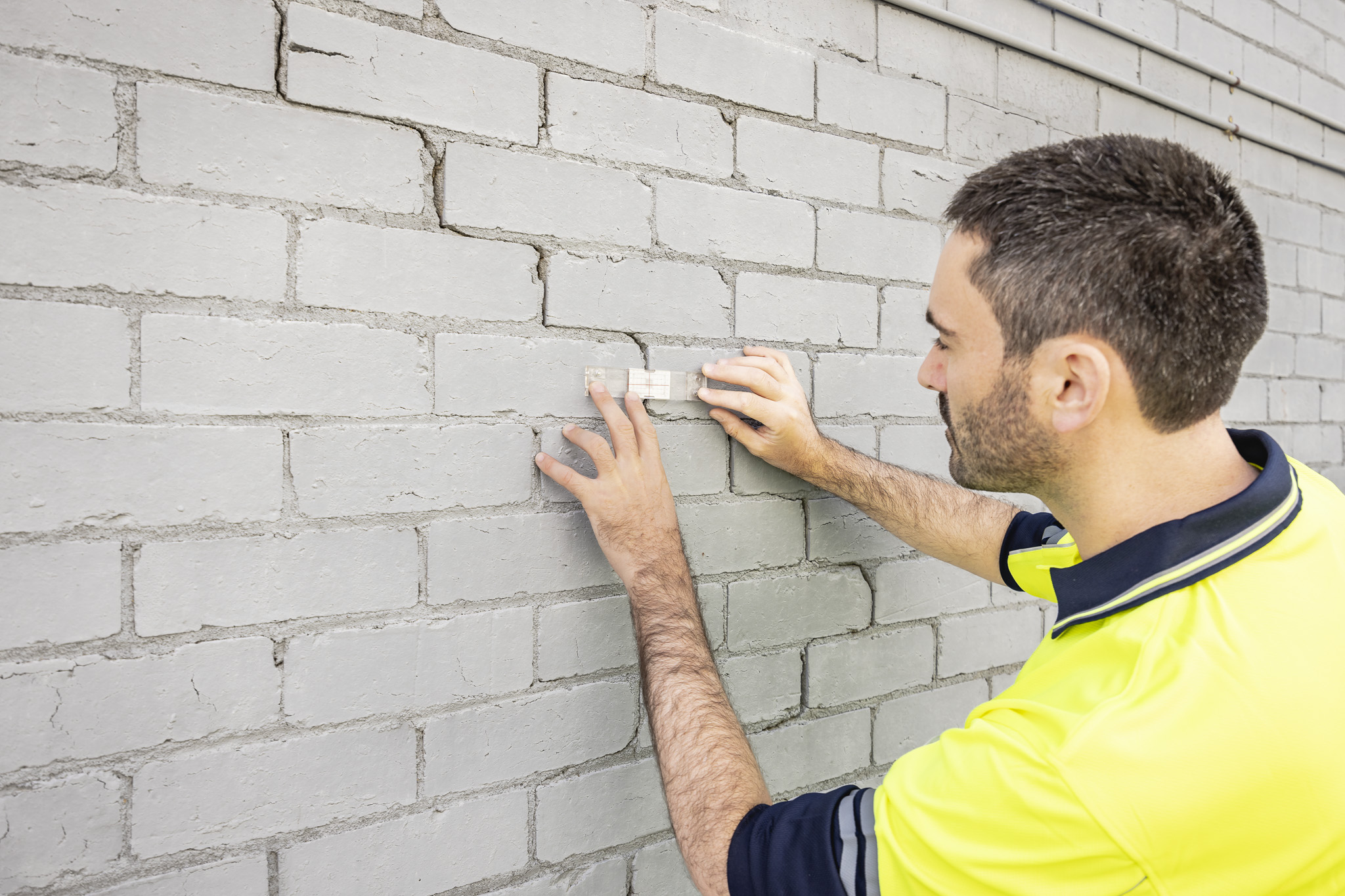
Dilapidation Surveys
Dilapidation Surveys
With thousands of surveys completed, Oracle Surveys boasts expertise and technology to furnish clients with robust data, capable of refuting claims or indicating changes.

CONTACT US
Get in touch today to see how we can help with your next project
Or alternatively, email us directly at hello@oraclesuveys.com.au
ALL ENQUIRIES/SUBMISSIONS WILL BE TREATED IN THE STRICTEST OF CONFIDENCE.